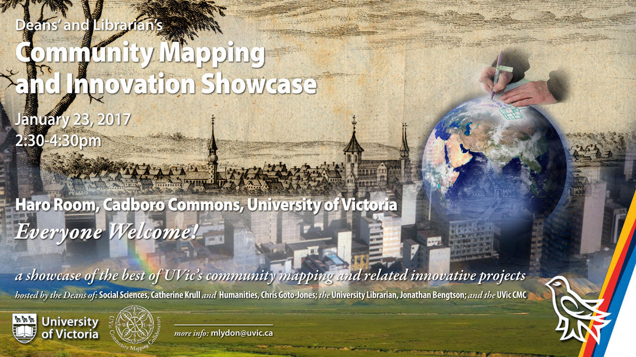
Community Mapping & Innovation Showcase Presentions January 23, 2017 Menu: CMC | Fernwood | Trevor Hancock | Cam Owens | OCUE | Daniel Brendle-Moczuk | Charles Burnett | Brian Thom | John Lutz | Wendy Anthony | Martin Holmes | Program of Presenters(Note: Presentations may time some time to load - scroll individual projects to see full content) CMC-Associated Projects - UVic Community Mapping Collaboratory Back to Menu Dorothy Field, Ian Flack, Cam Owens - Fernwood Community Association Presentation: Three Perspectives on Community Engaged Learning Back to Menu Trevor Hancock - School of Public Health & Social Policy Presentation: The Anthropocene, the One Planet Region and the Happy Planet Index Back to Menu Cam Owens - Geography Presentation: The City & Students Working in Tandem Back to Menu Norah McCrae / Crystal Tremblay - Office of Community University Engagement Presentation: Community Engaged Research at UVic - Engagement Map & Impact Summary Back to Menu Daniel Brendle-Moczuk - UVic Libraries Presentation: Vancouver Island Surfrider Foundation Beaches Clean-up Back to Menu Charles Burnett - Geography Presentation: Geog 391 Learning Opportunities: map-based Creativity Back to Menu Brian Thom - Anthropology Presentation: UVic Ethnographic Mapping Lab Back to Menu John Lutz - History Presentation: The’wa:li Community Digital Map Back to Menu Wendy Anthony - UVic Community Mapping Collaboratory Presentation: Mobile-friendly, open-source, community mapping innovations Wendy Anthony's Web-based innovations showcased: Native Plant Field Guide UVic native and invasive plants, searchable, image ID Tools: jQuery mobile, JSON data, GoogleMaps Native Plant Garden Story-Tour Map UVic natural areas and native plant gardens Tools: javascript scroll-based navigation, leaflet.js, Mapbox UVic Herbarium Specimen Map species name & location for 5000+ collected specimens with databased lat/long, click clustered markers to get individual specimen data Tools: leaflet.js marker cluster, Open Street map, JSON data Weather Data Locations Map interactive weather charts for UVic, Victoria & Vancouver International Airports Tools: leaflet.js, Mapbox, Open Street Maps Climate Chart Comparisons interactive temperature and precipitation data charts, 1993-2016 Tools: jQuery.js, highcharts.js, highstock.js, excel, JSON data Wind Roses - Speed & Direction Charts interactive comparison charts, UVic, Victoria Airport, 2015-2016 Tools: jQuery.js, highcharts.js, excel, JSON data Back to Menu Martin Holmes - Humanities Computing & Media Centre Presentation: The’wa:li Community Digital Map Back to Menu CMC Mapping & Innovation Showcase Program Back to Menu Project Status: CompletedDate Started: 2017Date Completed: 2017Year: 2017Associated Projects: Community Mapping CollaboratoryOrganization type: Education Email this page12998 reads